
Written By Deepti Ratnam
Published By: Deepti Ratnam | Published: Feb 15, 2026, 12:05 PM (IST)
Written By Deepti Ratnam
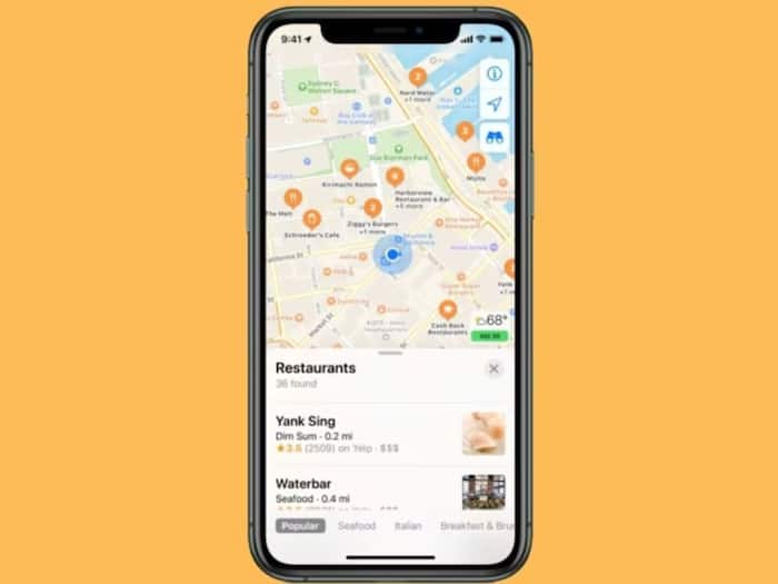
Apple is increasing its mapping in India. The company will start ground surveying in various regions starting February 16. The tech giant is expanding Maps in India with the aim of improving it and enhancing location accuracy. These surveys are part of Apple’s worldwide strategy to reconstruct maps using new technology and to collect accurate data.
It has taken Apple years to recreate a mapping system across the world. Street-level data are captured with special vehicles that have specialized cameras with LiDAR devices. Such cars gather photos and 3D mapping data to generate more precise maps. The new Apple Maps has already been introduced in the United States, the United Kingdom, Hong Kong, and Taiwan markets. Now, India is part of this expansion.
The Apple will collect road data using vehicles in most of the cities. They have image capture systems and LiDAR sensors on these vehicles. Apple will utilize portable backpack systems in locations that are not reachable by vehicles. These are smaller backpacks that continue to take LiDAR point cloud data and images.
The backpack system will be the center part of the pedestrian-only zones, including parks, plazas, transit stations, and narrow streets. Teams can also distribute information on mapping through the use of gadgets such as iPhones, or iPad. This helps improve Apple Maps in areas that are not accessible by car.
Apple has said that the company is focused on privacy and security and that’s the reason faces and vehicle license plates will be blurred and then posted. This also includes Look Around feature and other map updates. Two more blurrings can also be requested by users, if needed
The data collected from these surveys will improve map accuracy and support features like Look Around. Blurred imagery will also help Apple to enhance its products and services. This comes with image recognition and enhancement model training. The company says that the areas of data collection can be modified over the time and that the surveys can be re-run to update the maps.
Don't Miss Out the Latest Updates. Subscribe to Our Newsletter Today!